Aerial lidar · Mississippi · Tennessee · Arkansas
Aerial lidar for the Midsouth, from the Midsouth.
We fly out of North Mississippi, just south of Memphis, TN, so most sites in the three states are a day's drive or less. Survey-grade lidar, tied to your control, tested against independent check shots, and delivered ready for CAD.
Travel
Your site is probably closer than you think.
The first 50 miles of travel are free, and your quote prices the rest from our published per-mile rates. Below: the drive from our office in Nesbit, MS, and what travel would add to a 100-acre job.
| Near | Drive, one way | Travel on 100 acres |
|---|---|---|
| Memphis, TN | 22 mi | Free |
| Oxford, MS | 66 mi | $52.00 |
| Jonesboro, AR | 91 mi | $133.25 |
| Tupelo, MS | 96 mi | $149.50 |
| Jackson, TN | 102 mi | $169.00 |
| Greenville, MS | 144 mi | $305.50 |
| Little Rock, AR | 157 mi | $347.75 |
| Jackson, MS | 190 mi | $455.00 |
| Nashville, TN | 227 mi | $575.25 |
| Hattiesburg, MS | 279 mi | $744.25 |
| Fort Smith, AR | 307 mi | $835.25 |
| Knoxville, TN | 406 mi | $1,157.00 |
Outside the three states? We travel anywhere in the US; the instant quote prices the drive. Your exact quote measures the actual route to your boundary.
Why lidar
Wooded hollows, river bottoms, overgrown pasture.
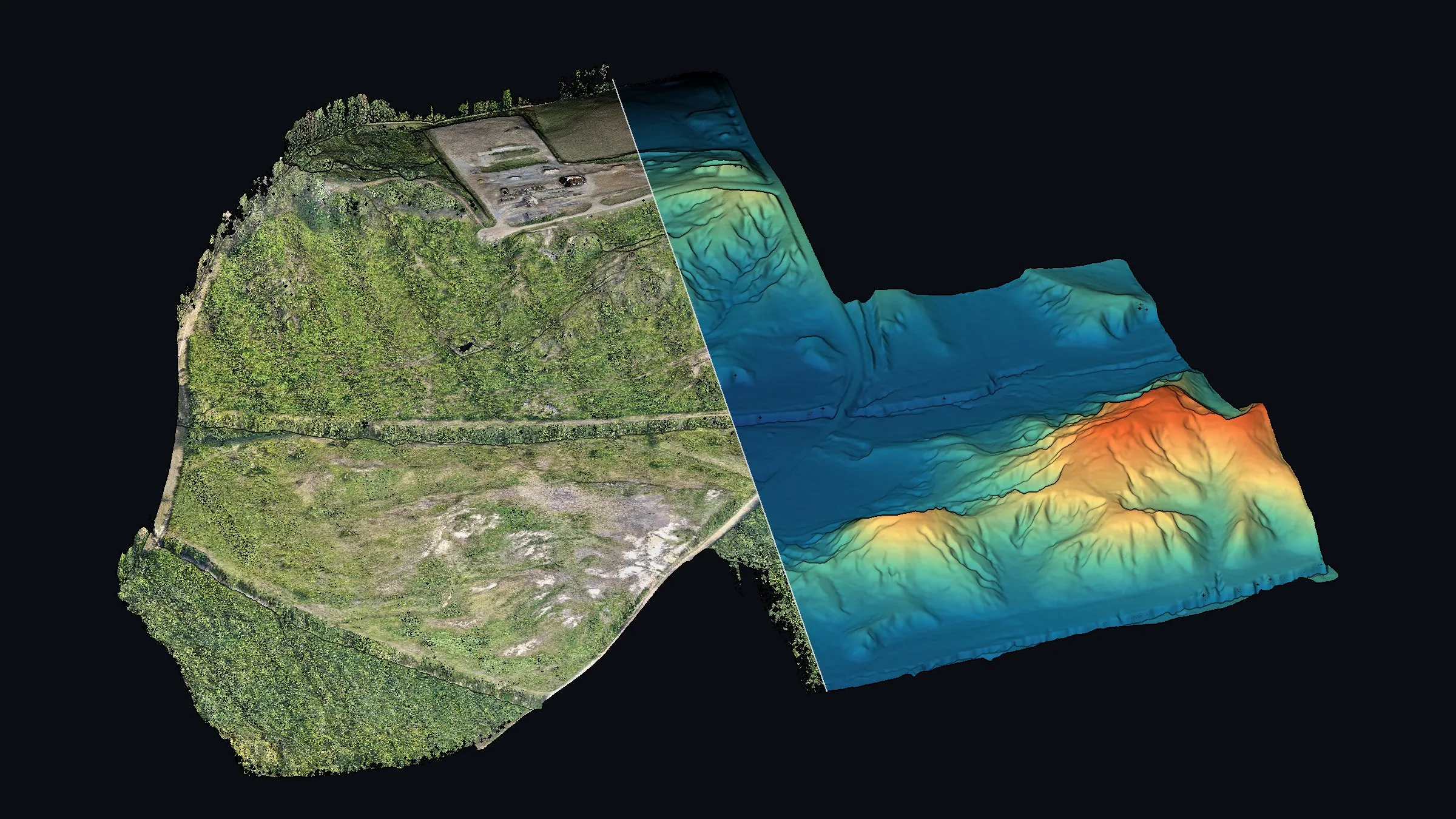
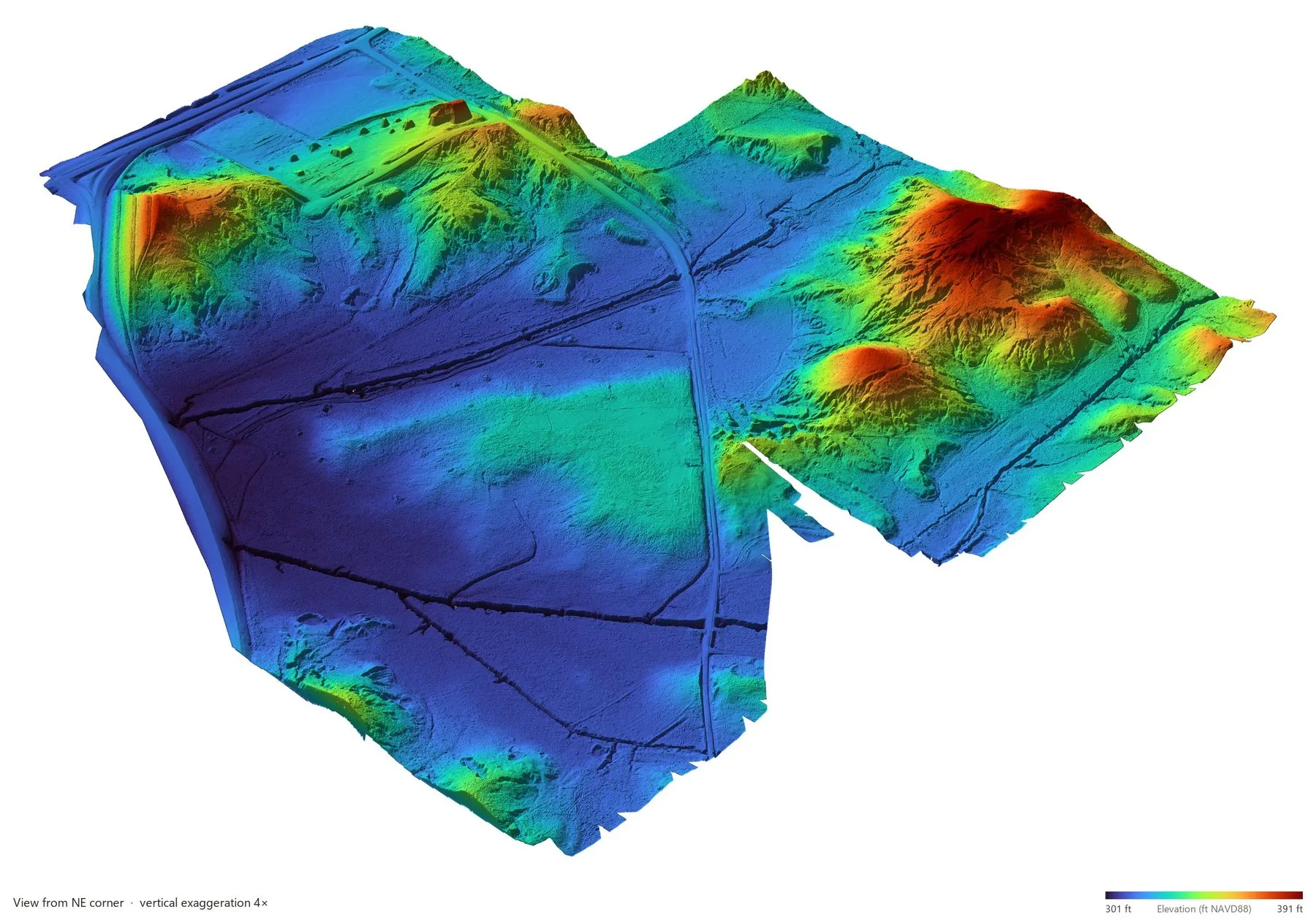
The Midsouth is full of sites a camera cannot see the ground on. Each lidar pulse returns several times on its way down: leaves, branches, then ground. We build your surface from the ground returns alone, so the topo under the timber is real ground, not the treetops.
- Aircraft
- DJI Matrice 400
- Sensor
- DJI Zenmuse L3 lidar
- Ground control
- Emlid RS4 Pro + RS4
- Experience
- 7+ years commercial
How we prove accuracy
We don't grade our own homework.
The check shots that test your surface are never used to adjust it. So the accuracy in your report is a real test, not a number we fitted.
- 01Tie in to your controlOur Emlid base sits on your monument, so lidar and survey share one origin.
- 02Shoot GCPs and check shotsRTK shots on open ground across the site, kept in two separate sets.
- 03One shift, no warpingThe cloud moves by the mean GCP difference. No tilting, no point-by-point fitting.
- 04Test, then reportEvery check shot is compared to the finished surface and listed in your report.
What you get
In your coordinate system and units, cropped to your boundary.
- LAS 1.4Classified point cloud
- GeoTIFFBare-earth DEM
- DXF · DWGContours and CAD files
- GeoTIFFOrthomosaic
- KML · JPEGBoundary and site photos
- PDFSurvey report
“Tim has been an integral part in our business from the beginning. His extensive knowledge in all things drone mapping and LiDAR has been invaluable.”
“I have conducted drone surveys in three different continents, and this has been by far the best service I have had.”